Nearby in the archive

A chart of the islands discover'd in the neighbourhood of Otaheite, in the course of several voyages round the world, made by the Capns. Byron, Wallis, Carteret & Cook in the years 1765, 1767, 1769
Whitchurch, William, fl. 1769-1779

Chart of part of the South Sea shewing the tracts and discoveries made by His Majesty's ships Dolphin, Commodore Byron, & Tamer, Capn Mouat, 1765, Dolphin, Capn Wallis, & Swallow, Capn Carteret, 1767, and Endeavor, Lieutenant Cooke, 1769.
Whitchurch, William, fl. 1769-1779

New Zealand hospital ship "Maheno"
Whitcombe & Tombs

Whitcombe's dual map of the war
Whitcombe & Tombs
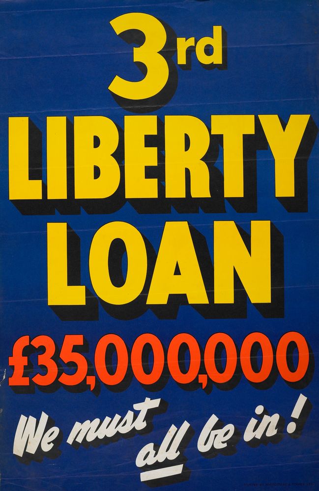
Poster, 'Liberty Loan'
Whitcombe & Tombs Limited
Poster, 'Liberty Loan'
Whitcombe & Tombs Limited
Poster, 'Liberty Loan'
Whitcombe & Tombs Limited
Poster, 'The "Spirit of ANZAC" Calls You'
Whitcombe & Tombs Limited


