
Nearby in the archive

The "Vermillion Cliff," a typical plateau edge, as seen from Jacobs Pool, Arizona. From its top a plateau stretches to the right, and from its base another to the left. Their difference of level is 1.500 feet, and the step is too steep for scaling, No. 15 from the series "Geographical Explorations and Surveys West of the 100th Meridian"
William H. Bell

Three Lakes Canon. Gray Cliffs in the distance; near Kanab, U.T.
William H. Bell

Vermilion Mesa, Jacob's Pool, Arizona.
William H. Bell

View in the Grand Canon of the Colorado River.
William H. Bell

View in the high country, on the headwaters of the Dirty Devil River. The rocks in the foreground are volcanic...trees...spruce.
William H. Bell
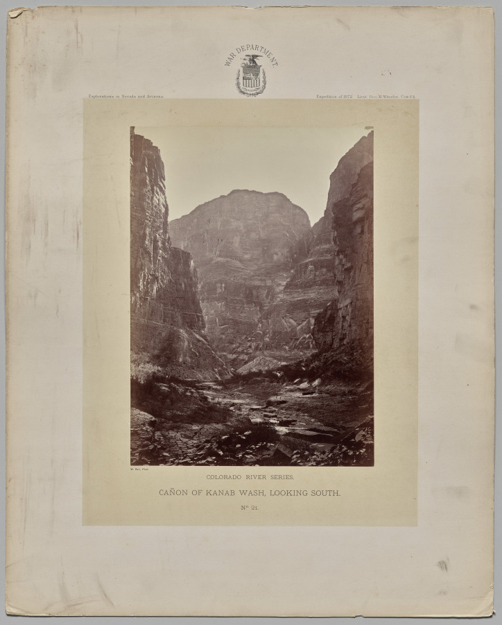
Canon of Kanab Wash, Looking South, Colorado River
William H. Bell (American, 1830–1910)
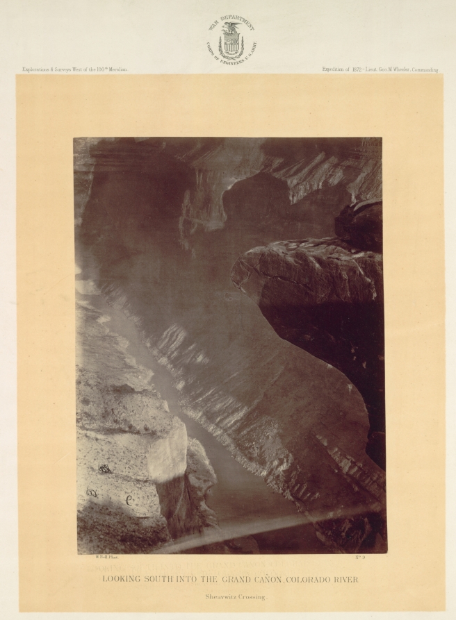
Looking South into the Grand Canyon, Colorado River, Sheavwitz
William H. Bell (American, 1830–1910)
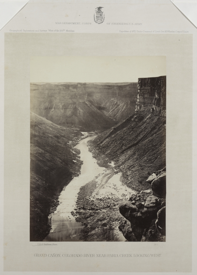
Grand Cañon, Colorado River, Mouth of Kanab Wash, Looking West
William H. Bell (American, 1830–1910); U. S. Army Corps of Engineers